
Connected aircraft programs
Connectivity platforms, datalink, aircraft position reporting, service monitoring, and operational tooling for airborne network programs.
Rivercode builds aerospace software development programs at the intersection of aircraft, connectivity, hardware, networks, and telemetry—avionics integrations, SATCOM software, electronic flight bags (EFBs), aircraft data capture, FOQA-style analysis paths, datalink, and related systems—backed by decades of hands-on connected-aircraft experience.
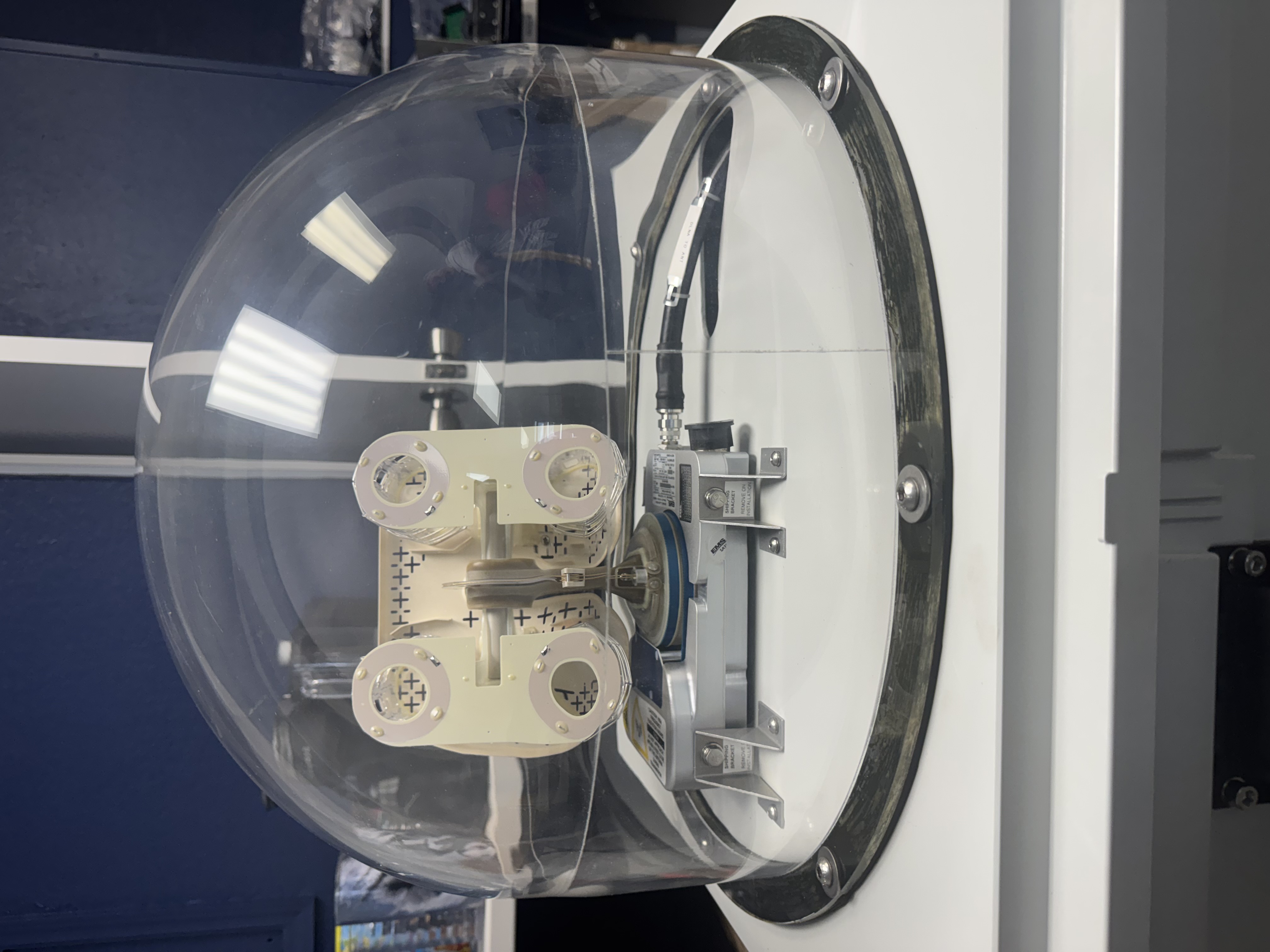
Hardware-aware software for aircraft programs that must stay connected and measurable.
We combine senior software engineering with practical aviation experience to deliver systems that hold up in labs, hangars, networks, and flight environments—across substantial engineering engagements, not short freelance gigs.
Connectivity platforms, datalink, aircraft position reporting, service monitoring, and operational tooling for airborne network programs.
Avionics integrations, aircraft data capture, onboard system interfaces, and integration work that respects real hardware constraints.
Systems and analysis around satellite communications, links, network management, and service performance.
Flight data capture and FOQA-style analysis paths, plus operations software and electronic flight bag (EFB) related systems—workflows, alerts, analytics, and post-flight review that support crews and dispatch.
API integrations and reliable pipelines from sensors and networks into dashboards, archives, and decision support at program scale.
Lab, facility, aircraft, and flight-test support that validates software against physical systems.
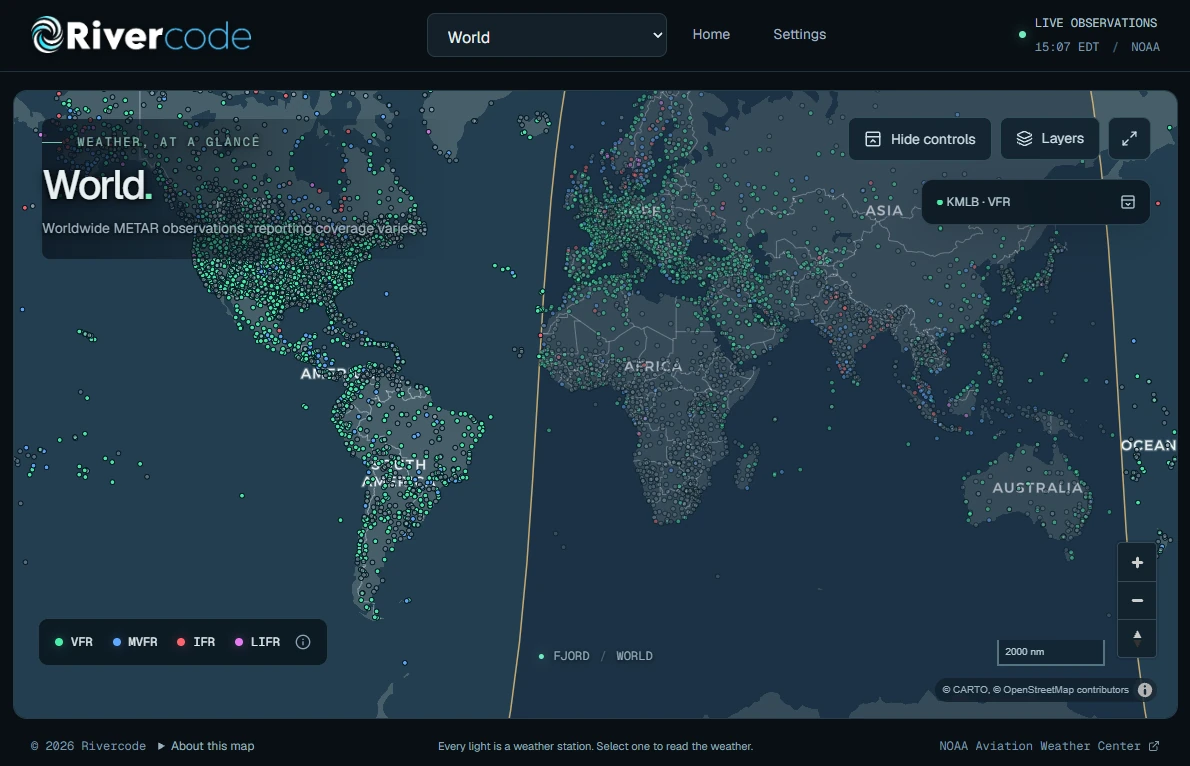
Our team's hands-on experience includes work with SATCOM and ATG aircraft connectivity providers such as Satcom Direct, Gogo, Honeywell Aerospace, SmartSky Networks, Eutelsat, Iridium, Inmarsat, Viasat, and others—shaping how we approach reliability, integration, and operational reality. PlaneDrive, our aviation data product, reflects the same hardware-aware mindset in a focused form.
Leadership and senior engineers who fly and work around aircraft bring cockpit and ops perspective to software and systems decisions—without turning the page into a biography.
We treat antennas, networks, avionics, and RF environments as first-class constraints—not afterthoughts.
Based in Satellite Beach near Cape Canaveral, we can work on-site with aircraft, labs, and program teams.
Clear communication, disciplined validation, and software that remains maintainable after flight test and into operations.
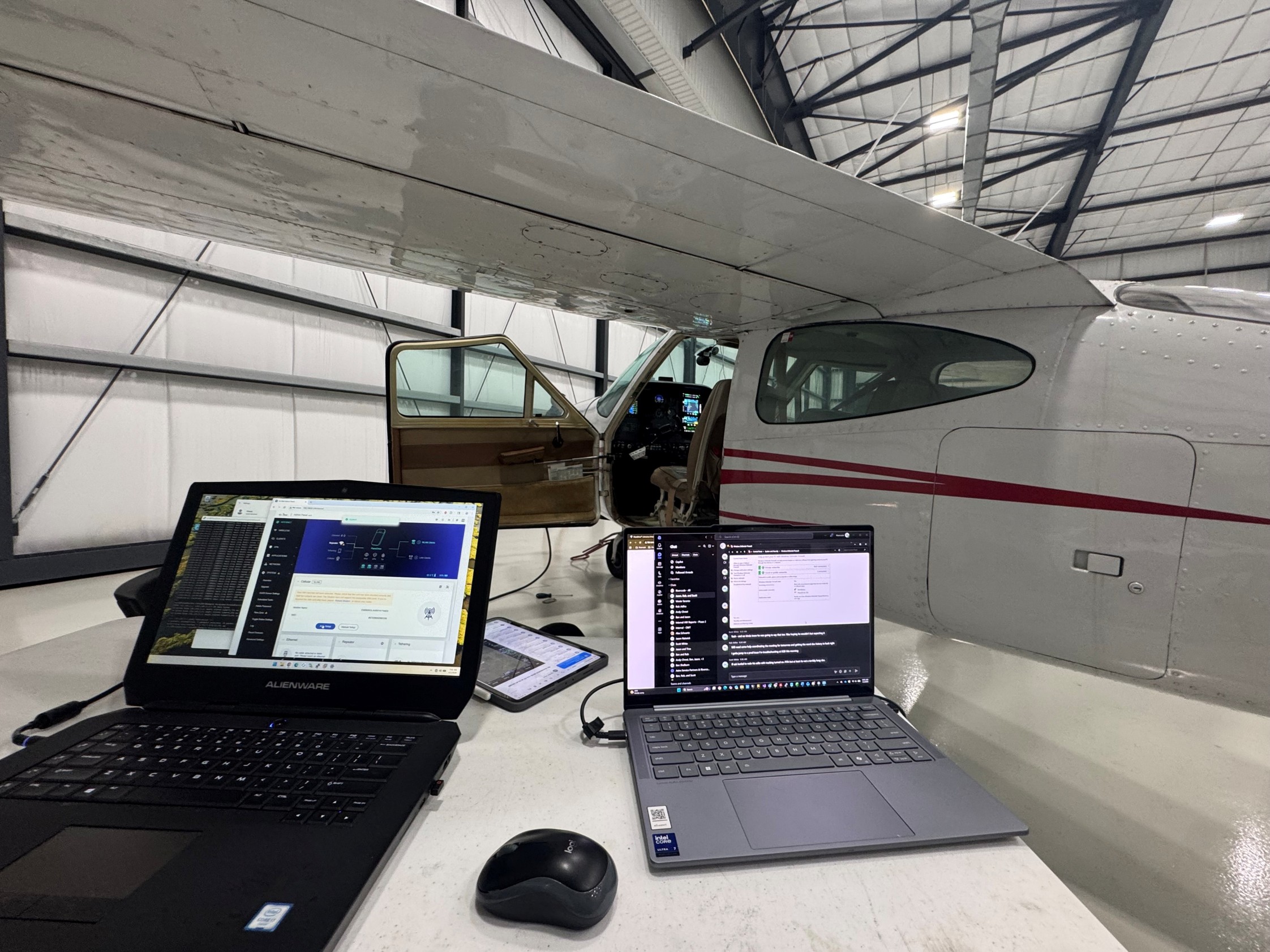
Validating aircraft data systems in the lab.
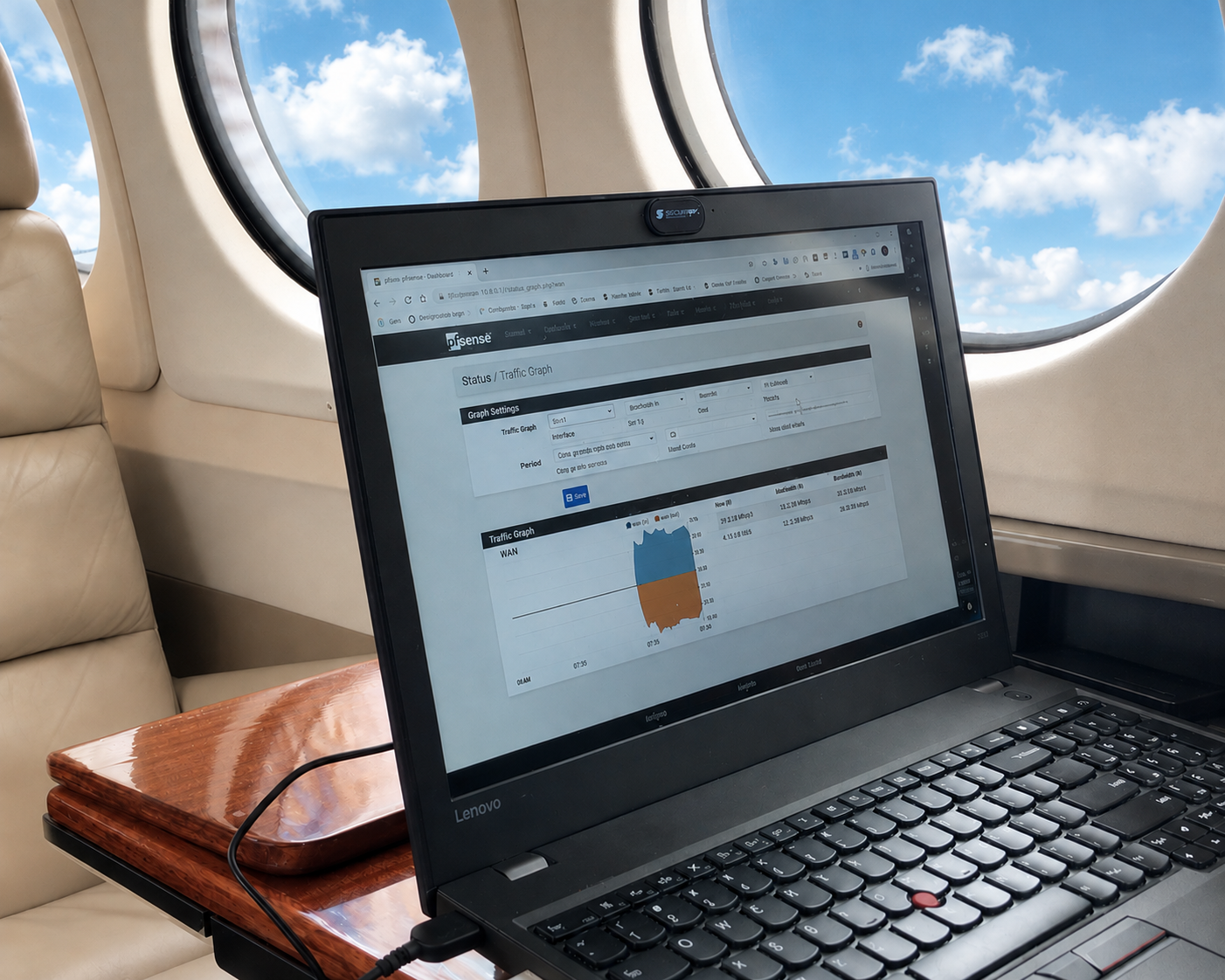
Engineering informed by hands-on flight work.
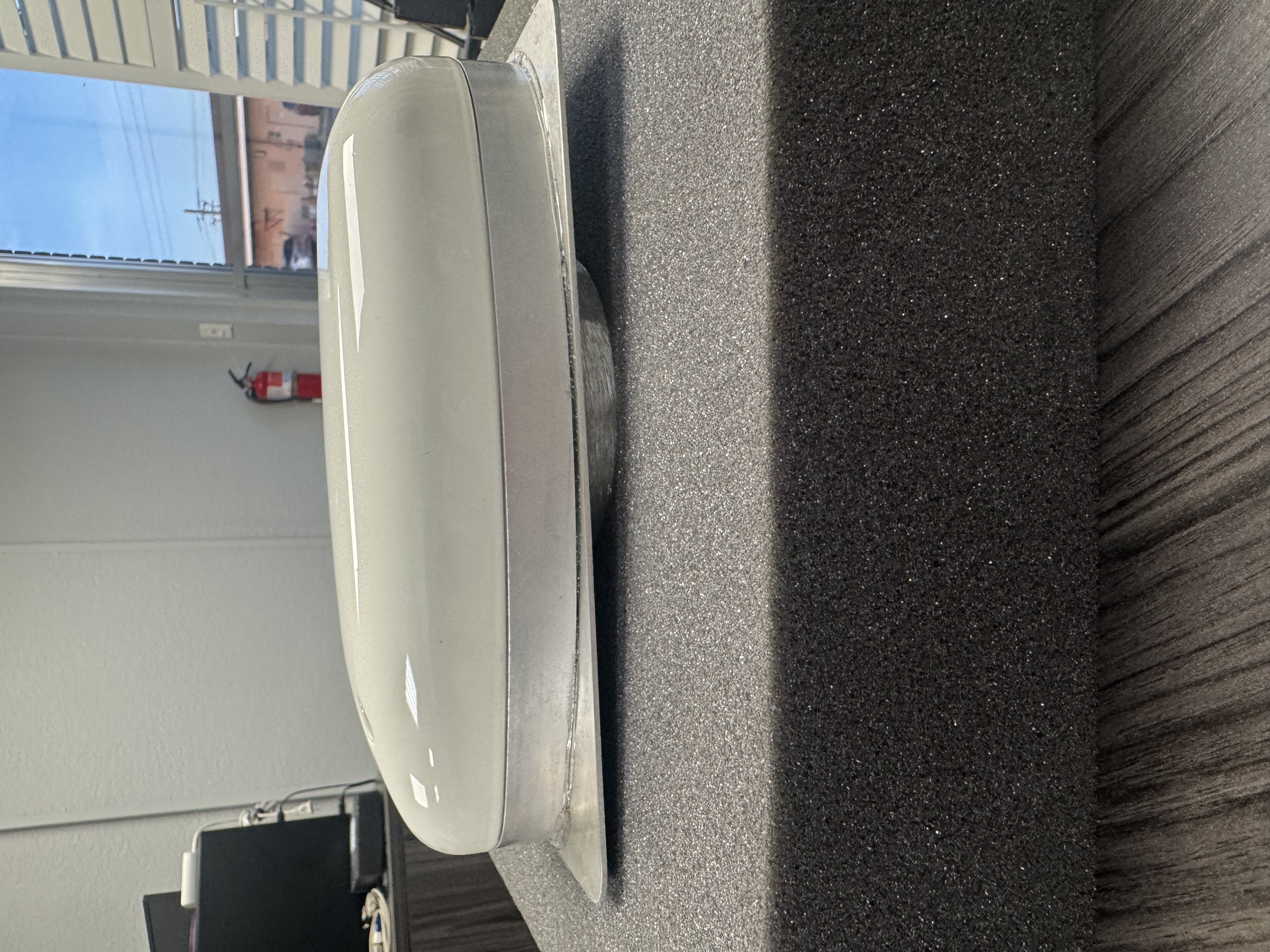
Antenna and connectivity hardware evaluation.
We support aerospace and aviation organizations that need dependable engineering across software, networks, and physical systems—structured as programs and long-term partnerships, without inflated claims or marketing theater.
Microsoft-stack platforms, APIs, cloud modernization programs, and retained engineering.
Local senior engineering for platforms, modernization, and operations systems.
See aerospace alongside software, data/AI, and managed IT.
Tell us about the connectivity, avionics, ops, or telemetry program. We’ll help scope a practical large-scale engineering path.
Discuss a Programinfo@rivercode.net · 1301 South Patrick Dr Ste 60, Satellite Beach, FL 32937